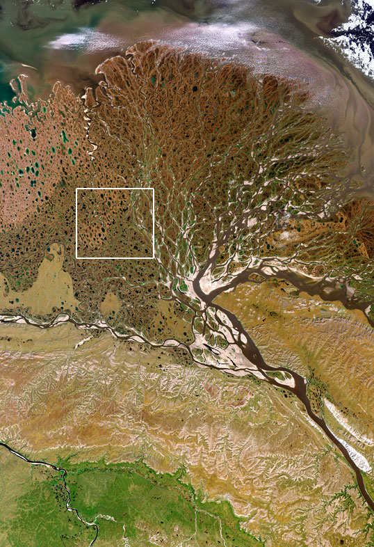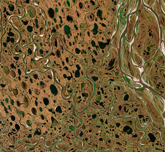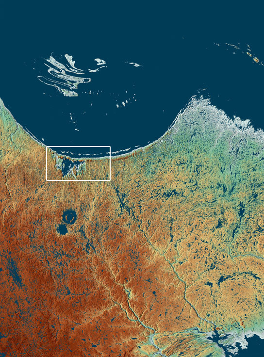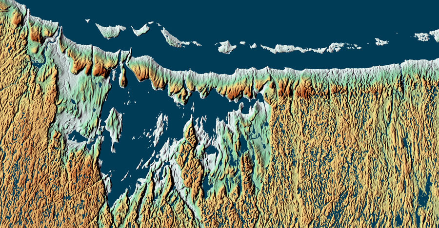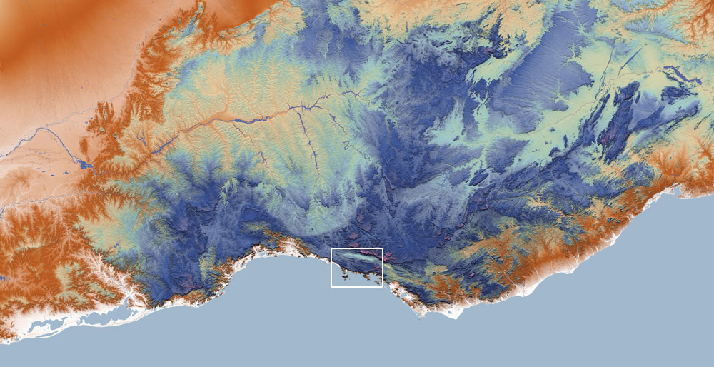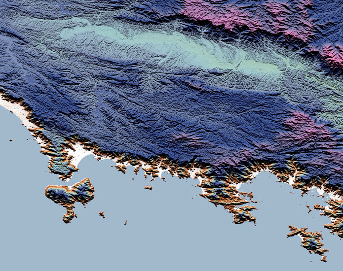

These map-true images of moderate resolution have typical breadth of 100 miles or 150 km on the short sides. They are built from individual files for each Landsat natural color band, and from the higher rez B+W Landsat band of 15m cellsize. Such imagery is combined with elevation from SRTM and US/Canada/Russia raster elevation sources to yield a haze-corrected and toposhadow-enhanced output which often appears three dimensional. About one in sixteen titles is a pure elevation depiction using custom palettes. The data are nearly all in the public domain.



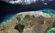

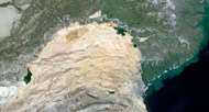

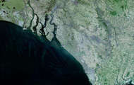

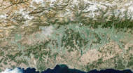
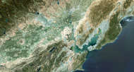
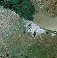
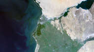
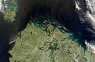


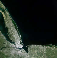
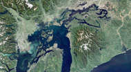
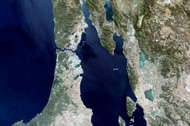

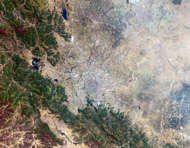
November ‘15: Freshly designed over the last year, this site has expanded to include 12 times as many titles, a map index system, clusters of spatial neighbors and topical families, comprehensive startup gallery and extensive filtering functions including by color. Also offered are search queries, personal galleries, and direct print purchase. The image displays have been revamped to allow significant zooming and exploration. The topical gallery above is one of many starting points. Text support material and many filter tags will be added in the coming months. The site’s previous version is here. The pairs below of whole pieces and print-scale excerpts give a quick preview to typical data character. The main menu is at upper right.
